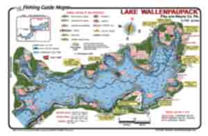
This is a  2-side waterproof  fishing map of the northand west portions of Lake Winnipesaukee.  In detail the map displays fishing spots and topography invaluable to the serious angler.

Winnipesaukee - Moultonborough Bay & Center Harbor Area (2-sided)

$5.95 - $15.95

Lake Winnipesakee is the largest  lake in the  New Hampshire lakes region.  It is shared by Belknap and Carroll Counties.  This lake has an abundance of shoals rocks, islands, coves and bays to keep anglers busy catching Trout, Bass, Perch, Pickerel, Hornpout, and Cusk near Center Harbor and Moultonborough Bay.

  • Best fishing spots are marked on the map.
  • Fish catching features include shoals, rocks, Islands, bays coves and launch ramps.
  • Waterproof, colorful easy to read detailed  fishing map.

Get your Lake Winnipesaukee maps online today and save.

Full Description
Size *
Qty
  • Description

    Lake Winnipesakee is the largest  lake in the  New Hampshire lakes region.  It is shared by Belknap and Carroll Counties.  This lake has an abundance of shoals rocks, islands, coves and bays to keep anglers busy catching Trout, Bass, Perch, Pickerel, Hornpout, and Cusk near Center Harbor and Moultonborough Bay.

    • Best fishing spots are marked on the map.
    • Fish catching features include shoals, rocks, Islands, bays coves and launch ramps.
    • Waterproof, colorful easy to read detailed  fishing map.

    Get your Lake Winnipesaukee maps online today and save.